Many of you will have passed over this bridge. These postcards show its form has changed over the course of a century.
Oxford, Michigan (postmark) is just north of Detroit.
* * *
Notice the bracing of the outer rail.
* * *
* * *
It is interesting to see the 'artistic differences' between the image above, and below.
* * *
* * *
 |
| from: Algoma Central Railway; OS Nock; 1975; A&C Black Ltd. |
The map above shows the position of the Montreal River Falls dam within its company's generating and distribution system.
Below, the railway is represented by a grey line. To quote from The Field Practice of Railway Location (1904):
"The direction of the drainage of your country is the framework on which you must hang your located line."
 |
| from: Atlas of Canada; Dr Henry Castner; 1981; Reader's Digest Association. |
* * *
The Wild Card ...
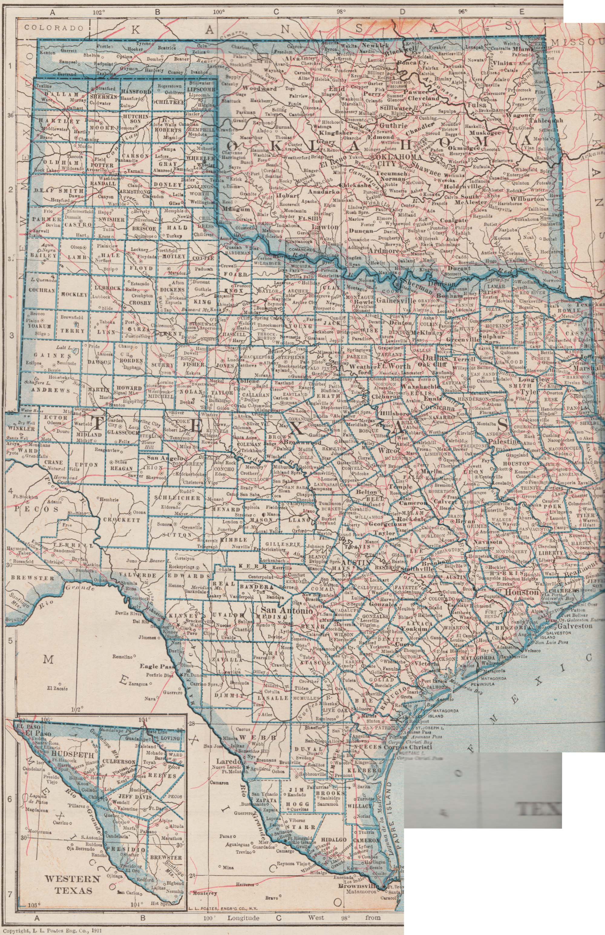
The Crosby, Texas referred to on this card is just north-east of Houston.
However, it is not shown on the 1921 map below.
Below: As you'd expect, on this map from 1921 the red lines represent railroads.
(The original map is about 10 x 14 inches and the reassembled image ends near the atlas gutter on the right side.)
 |
| from: New World Atlas and Gazetteer; 1923; PF Collier & Son. |


