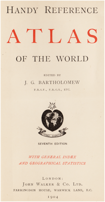
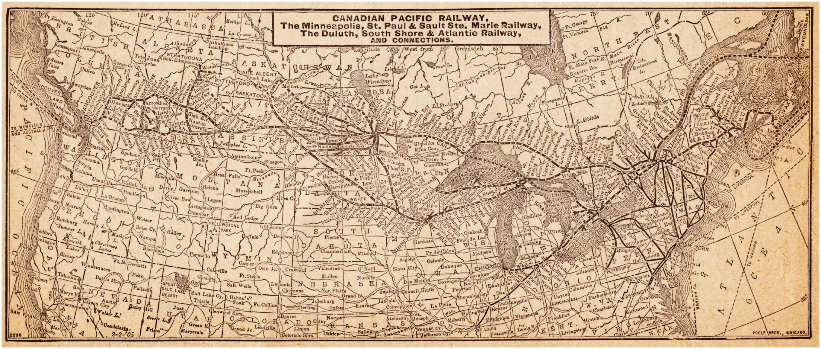
Here is some data which is over 115 years out of date. An annotated timetable and an old atlas take us east on a trip over CPR and ICR rails to Halifax. I've never been east of Fredericton Jct on the CPR so I'm eager to find out what is there.
The artifact above was purchased in this condition.
Its first owner was an American tourist who went west.
Except for the Poole Bros map right at the end of the timetable,
all maps come from this little (5x7 inch) atlas.
CPR Trans-Continental Express leaving Windsor Street Station, Montreal
(The Locomotive Publishing Co, London, England)
At the left, you can see the locomotive facilities which were originally located at Windsor.
CPR Lachine Bridge
(card mailed in 1910 to London, England).
While the bridge and river are based on in the original photo,
the jolly raftsmen on the Lachine Rapids,
the steamboat and 'our' train are, alas,
art from the Valentine Postcard Co.
CPR Sherbrooke Station, mailed 1908.
East of Saint John, New Brunswick, we're on the rails of the Intercolonial.
Above, is some of the 'Deep Water Terminus' shown on the map below.
The dome and peaked roof of the 'Intercolonial Railway Station' can be seen in the distance at the left.
This image came from a daytime photograph and was painted into a nighttime image.
For a city map with railway systems and photos of Halifax from this era ...
and some interesting contemporary trade journal articles
on the Halifax Explosion recovery discovered by Jim Christie ...
Here is a link to an older post ...
Here is a general map of the Maritime Provinces
and part of the British Colony of Newfoundland.


