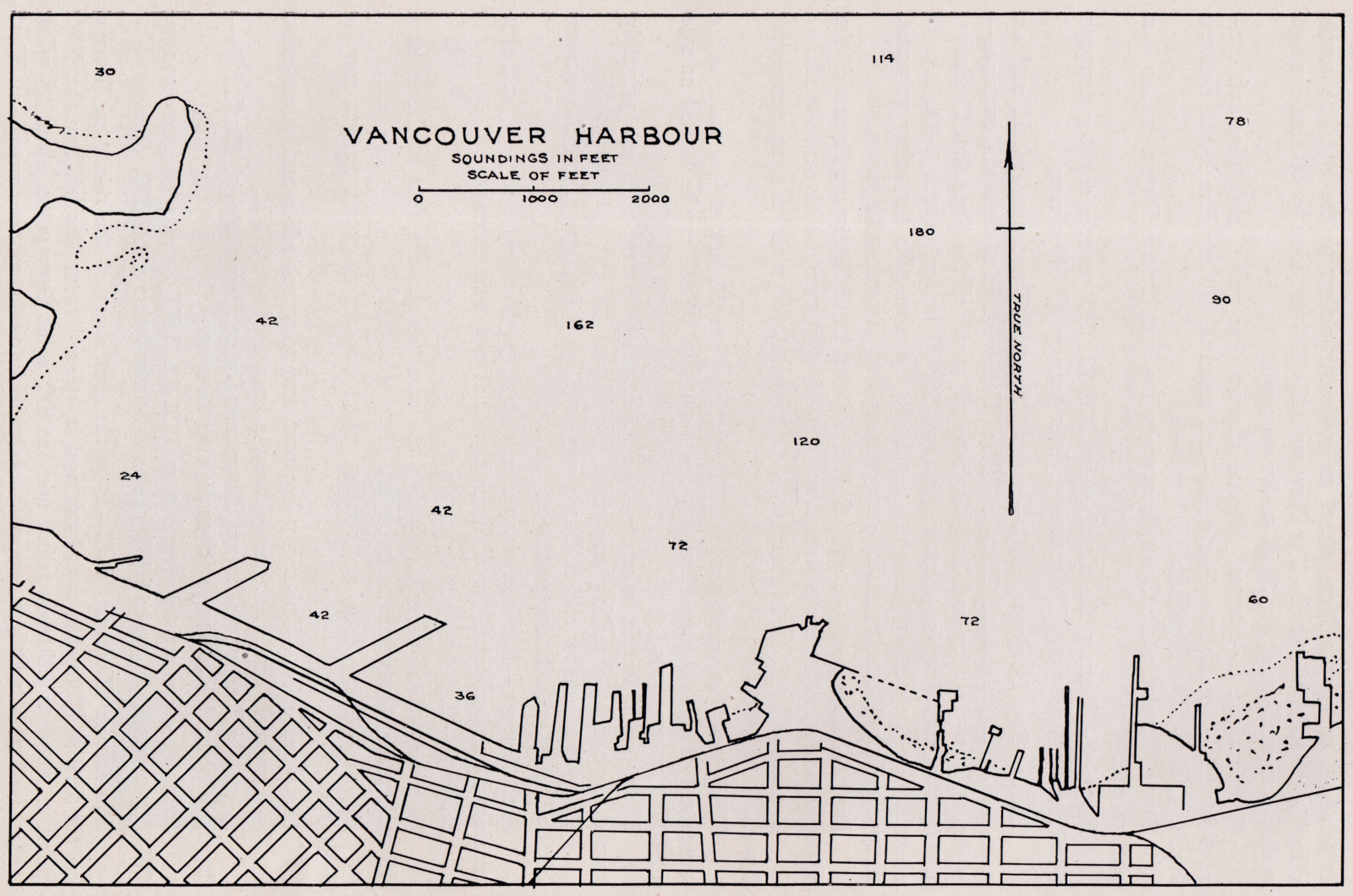
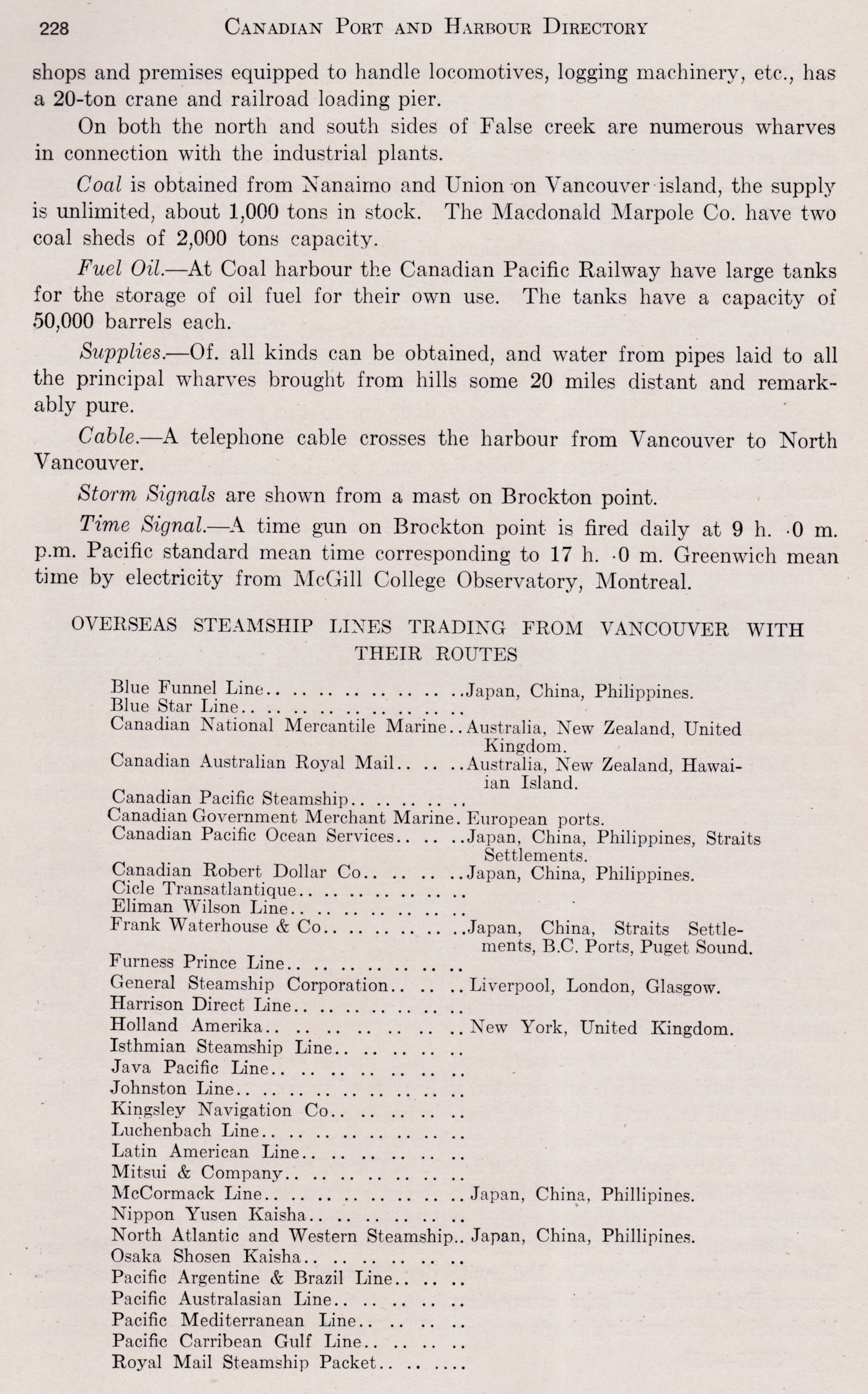
This federal publication provides data for both sea and inland harbours. While basic maps are provided, it is assumed that the user has access to the appropriate nautical charts. The photographs come from this publication.
Included below, from other sources, are maps from 1915 and 1927. The latter is a bird's eye view map with many local features labelled - it is the last image in this post.
As always, it is often necessary to run the slider bar to the right to see the entirety of large images.
 |
| Postcard mailed 1916 Vancouver to Cambridge, Massachusetts. The sender had come through the Rockies, with a day at Lake Louise. 'With the Orient ahead!' |
 |
| from: Government of Canada Atlas, 1915. |

 |
| from: Vancouver, The Way it Was; Michael Kluckner; 1984; Whitecap Books. |
A 'bird's eye view' style map from 1927,


