What is wrong with this map from 1940?
Tiny hint:
The War of 1812 has influenced the British Empire's defence plans. It was determined that the rapidly-growing UEL settlement at Kingston (named that in 1788) could not be easily defended in the event of an American attack.
The Royal Navy established a base at Navy Bay in 1813. The strategically-located Fort Henry was built on Point Henry between 1832 and 1836.
The fort also guarded the Lake Ontario end of the Rideau Canal (built 1826-1832). This waterway was built through the backwoods to the location of today's Ottawa. It was designed to be part of a lifeline of waterways, connecting the Navy Bay base and Montreal - should the Americans attack across the St Lawrence River and block it. Royal Military College was established in 1872 at Point Frederick.
The Rideau Canal was only designed for vessels having a 5 foot draft - so large ships and ships with significant keels would never use it.
 |
| Kingston sheet topographic map 1940, 1 inch : 1 mile altered. Source: See topographic map credit below. |
 |
| from: County of a Thousand Lakes; 1982; County of Frontenac. |
Above: An image by Washington F Friend (1820-1886) in 1858.
Looking west, Kingston is seen from the east shore of the Cataraqui River.
A bridge connects the two locations.
* * *
 |
| from: Kingston: Historic City; Nick Mika; 1987; Mika at archive.org |
Detail from a watercolour circa 1841 by Lt Philip John Bainbrigge (1817-1881)
Looking east from Kingston on the western shore of the Cataraqui, you can see Fort Henry in its superbly defensible location.
Over the years, the wooden bridge had different appearances as renewal of the weathered and battered wood was necessary.
* * *
 |
| from: Kingston: Building on the Past; Brian Osborne; 1988; Butternut Press at archive.org |
This image is typically undated in references I checked.
This view is looking toward Kingston.
Given the state of telegraph equipment and photography, it may be from the late 1800s.
The bridge was originally built in 1828.
* * *
 |
| from: A Kingston Album; Marion Van de Wetering; 1999; Hounslow Press. |
Circa 1886 someone seems to be threatening critical infrastructure and endangering the toll house worker.
I believe the movable span was at times a wooden lift bridge or ... a beautifully-designed swing bridge (shown above).
Before the 'good roads' movement took hold in the US and Canada, various methods were used to finance and maintain roads. Toll roads had toll houses and the way was usually blocked by a wooden turnpike until the user paid the toll.
Before the bridge, rowboats regularly provided 'water taxi' transportation for a fee. In the winter, an ice bridge offered a cost-free but not a risk-free option.
* * *
Not everyone supports 'user pay' financing ...
 |
| from: Canadian Grocer; 1906; archive.org |
This is from the anonymous section titled 'From Grocer Correspondents'.
* * *
 |
| from: Engineering & Contract Record; 1910; archive.org |
 |
| from: Engineering & Contract Record 1913 P115 at archive.org |
 |
| Wolfe Island sheet, 1inch : 1 mile, 1915; Historical Topographical Map Digitization Project. https://ocul.on.ca/topomaps/collection/ |
 |
| from: Canadian Machinery; 4 March 1915; archive.org |
 |
| screencap from: Aerosnapper Channel, YouTube, image from June 24 looking east. |
 |
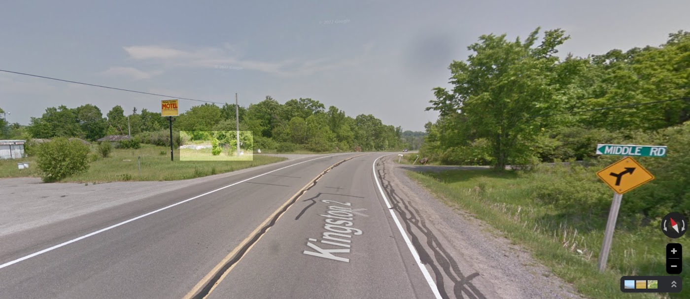
| Probable location of Golden Slipper concrete foundation. Google image of 2009. |
 |
| Probable location of Golden Slipper concrete foundation. Google image 2024. |


